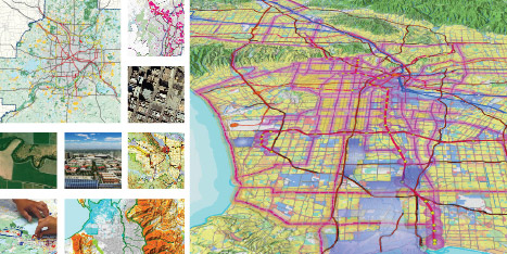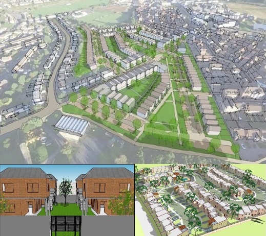
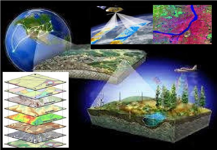
Geographic information system: Geographic Information System (GIS) as an integrated, spatial, data-handling programmes which will collect, store, and retrieve spatial data from the real world. GIS technology is used to analyze the urban growth and its direction of expansion, and to find suitable sites for further urban development.
Remote sensing: This concentration will teach students to apply remote sensing techniques to classify types of land use over large areas in a practical, economical and repetitive fashion, over large areas. Remote sensors are integrated into the GIS system and this together helps in understanding the maps, weather conditions, population density and many things related to earthly conditions.
